How did Dubai transform into the unique and bustling metropolis it is today?
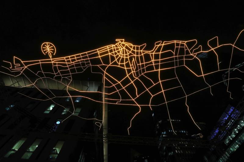
A new light art multisensory exhibition aims to answer that by showcasing illuminated maps of the emirate through the past 50 years. The work, called City Gazing Dubai, is created by Amsterdam design studio VOUW.
The installation was created with LEDs measuring 18 metres by 11 metres, using a rendition of satellite images of the emirate. It’s suspended eight metres high over the DIFC’s Gate Avenue and is set to music, providing a multisensory journey. It is best viewed in the evening.
Those who stand underneath the illuminated map can enjoy a dynamic light display set to a vibrant soundscape.
The installation highlights how Dubai has grown from a few key arterial roads to the metropolis it is today and showcases the city’s development against the backdrop of the desert sky.
The key message focuses on human achievement, social connection and sustainability.
“City Gazing Dubai gives people the chance to experience the ‘overview effect’, the feeling that astronauts have when they see our planet from the vastness of space. It’s an awareness that life on Earth is fragile and that we are all connected,” said artist Mingus Vogel, who designed the work with partner Justus Bruns.
“When people stand together beneath City Gazing Dubai and look up, they, too, will feel united by a sense of wonder.”
The exhibition runs from 7.10pm to 3am until Saturday, January 29.

